Canberra Tracks – Self-Guided Heritage Trails
8 Self-guided heritage trails exploring historic sites and stories in the capital
Explore Canberra Tracks, a network of heritage signage that guides you through eight captivating self-drive routes to Canberra’s storied historic sites. Each sign shares enthralling tales from the past and present, offering a deep dive into Canberra’s early history and the lives of its early inhabitants.
Discover the marks of different cultures that have shaped the land, from national icons symbolising Canberra as the capital to subtle reminders of the age predating parliament’s arrival. As you journey through Canberra Tracks, you’ll also encounter the enduring connections of the Ngunnawal people and their vibrant living culture rooted in the land’s Aboriginal origins.
Track 1 – Ngunnawal Country
Journy through the stories of the Ngunnawal peoples, the traditional custodians of the ACT, that date back at least 20,000 years. Canberra, also known as Kamberri in the local indigenous language, translates to ‘meeting place’ where the Ngunnawal people welcomed and hosted communities from the surrounding area to discuss the land, lore and culture. Traditional ceremonies, initiations, marriage, and the trading of resources often took place in the surrounding mountains. This Canberra tack will take you on an intimate journey through the local aboriginal history of this region, past, present and future.
Track 2 – The Limestone Plains
Discover a land explored and colonised by convicts and free immigrants as part of New South Wales, Britain’s first Australian colony. Before the land became the ACT and the capital, British explorers named the area the Limestone Plains after its geology. The first officially settled land along the Molonglo River in 1823 was called ‘Canberry’, before the establishment of Melbourne, Adelaide and Perth. By the 1900s the Limestone Plains consisted of farming properties and a few small villages. Queanbeyan was the nearest town until Canberra’s development.
Track 3 – Looking at Canberra
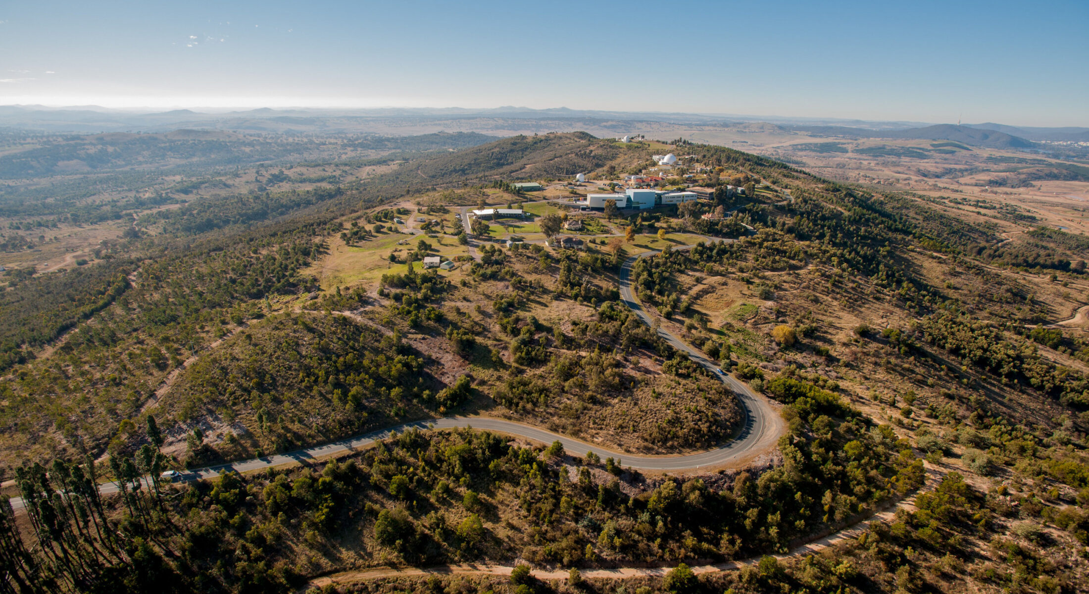
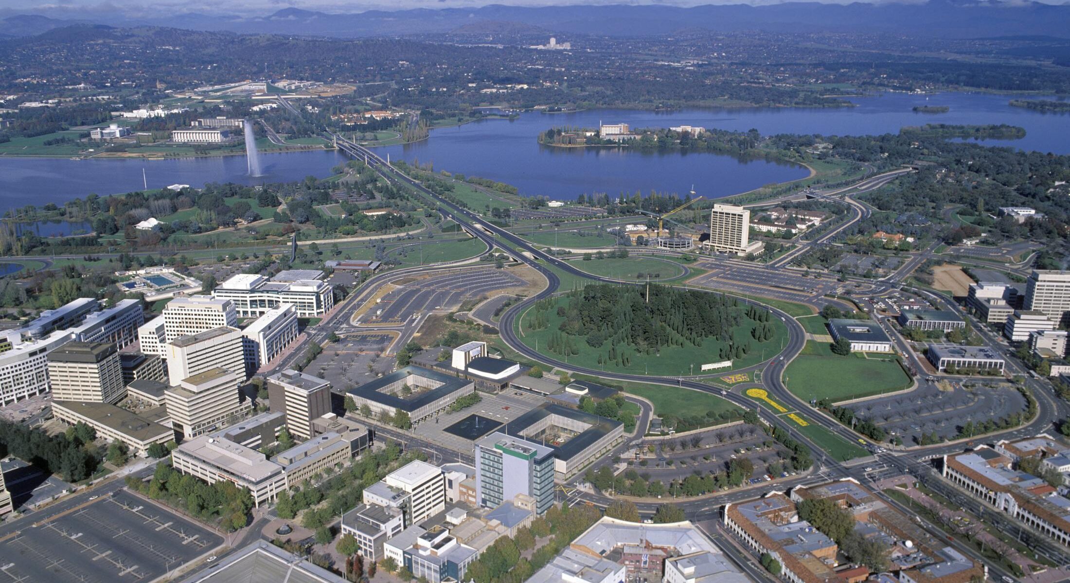
Explore the development of Canberra and the history behind the infrastructure and planning of the capital. This track will take you to numerous stunning lookouts and reveal the ambitions and frustrations of creating a national capital far from Australia’s established cities.
From a government town planned for 75,000 people, Commonwealth and private builders and waves of new residents have created a city of more than 450,000, and a place of national and international significance.
Track 4 – Cemeteries
The cemetery trail is an important part of our region’s heritage. It includes churchyards, large urban cemeteries, pastoral plots, and solitary graves. By examining tombstones and their inscriptions, we can learn a lot about our society, such as the hardships faced by early farming families, high infant mortality rates, Aboriginal burial practices, and artistic styles and symbolism.
Track 5 – Gungahlin
Gungahlin is one of the newer areas for suburban development in the Australian Capital Territory (ACT). The area contains numerous sites that show evidence of previous land use, including Aboriginal and pastoral sites. Additionally, Gungahlin is home to many reserves, grasslands, and parks.
This trail offers walks and a bike ride from Yerrabi Ponds to Mulligans Flat Nature Reserve. Along the way, you can explore 100-year-old border markers, historic villages, homesteads, an ochre ground, and scarred trees, providing a glimpse into the area’s heritage.
Track 6 – Belconnen
Throughout the suburbs blocks left vacant have stories to tell. Why have they not been developed? This Track will teach you about ‘Belco’s’ (as it is known by local Canberrans) life before European settlement, before the national capital, then with more recent building.
Start with a cycle around Lake Ginninderra then into the town centre. Visit sites of homesteads, the border, an unmarked burial ground, a former naval transmitting station, student residences, Finish with a walk or ride up Gossan Hill.
Track 7 – Woden Heritage Track
The Woden area was the first satellite town center of the ACT to be developed. Unfortunately, much of its pastoral history was lost due to demolition.
The area has a strong connection to the Soldier Settlement Scheme after World War I, and there have been innovative developments at Swinger Hill and Callam Offices. You can explore geology, nature, and learn about one of Canberra’s primary industries from earlier times – forestry.
Track 8 – Tuggeranong Heritage Track
Set against the stunning backdrop of the Brindabella Mountains, Tuggeranong offers a diverse heritage for visitors to explore. Take a look at the southern side border, schoolhouse, church, and other structures built from wood, stone, brick, or pise.
Explore sites that were once home to the grand Kambah homestead and the humble Urambi homestead. Additionally, the influence of the World Wars can be seen in this formerly remote valley.
For more information, pick up the latest brochure from reception and download the Canberra Tracks app.
Embark on a fascinating journey through Canberra’s past and present!

